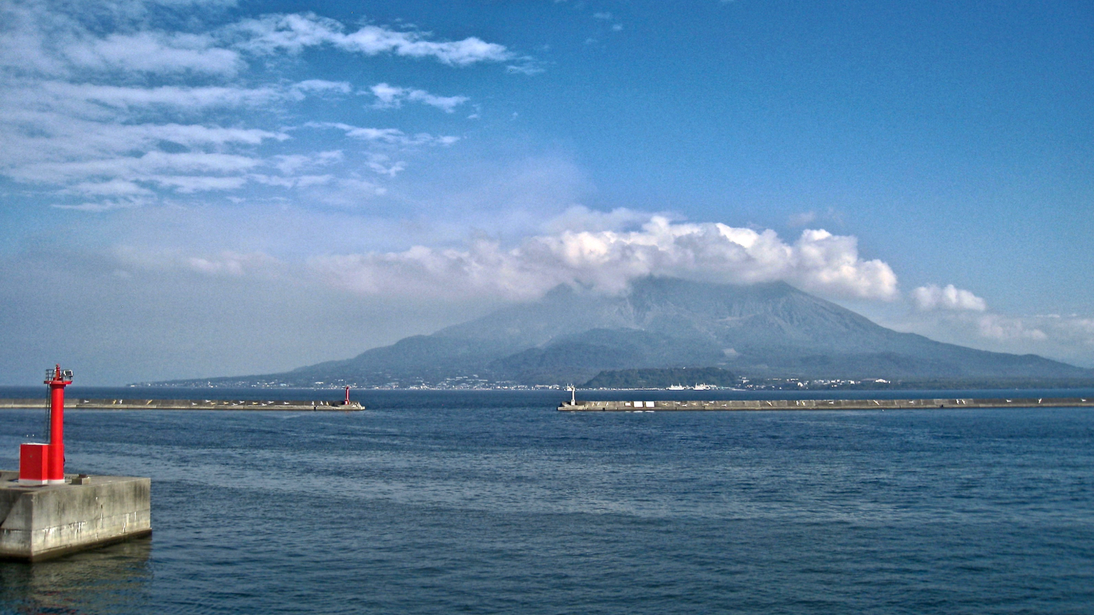
Sakurajima volcano is one of the most active volcanos in the world and dominates the beautiful bay of Kagoshima, located in the most south western part of Kyushu. This strato-volcano, said to be the largest in volcanic energy in Japan, is absolutely worth a visit. You will be offered stunning views of the Kagoshima bay, the South Chinese sea and last but not least the volcano itself. Kagoshima is often called the Napoli of Asia.
The Pacific Ring of Fire
The Japanese archipelago with its 7000 islands is located on “the Pacific Ring of Fire”, a range of places with strong volcanic and seismic activity that stretches around the Pacific Ocean and encompasses New Zealand, Indonesia, The Philippines, Japan, the Bering strait, Alaska and the entire Pacific coast of North and South America.
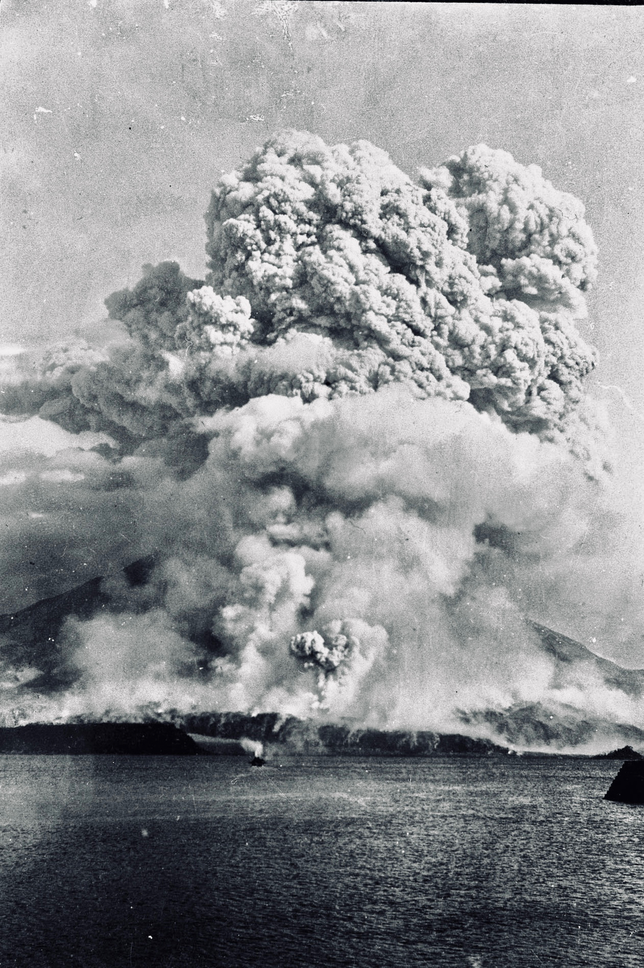
The Taisho eruption of 1914
The largest and most famous volcanic eruption in Japan in the 20th century was the one of Sakurajima beginning of 1914. Until then Sakurajima was an island, jima in Japanese. After months of increased seismic activity Sakurajima exploded on 12 January in what is known as the Taisho eruption. The hot lava kept flowing for weeks connecting Sakurajima with the Osumi mainland in the South east. Vintage photos show an eruption that must have looked apocalyptic in reality.

Eye witnesses described how in the morning of 12 January enormous explosions opened the Western and Eastern sides of the volcano throwing a column of volcanic material more than 10 km in the air.
Fortunately, most of the island population and people from Kagoshima already fled. Nevertheless, later the same day a severe earthquake followed by a Tsunami caused extensive damage to Kagoshima.

More recently, over the last decades Sakurajima has been continuously active, at times spewing ashes more than 5 km high. Because of the highly explosive nature of its eruptions and located only a short distance away from the densely populated city Kagoshima, the volcano is considered dangerous. Therefore, it is closely monitored year in year out for 24 hours per day by Japan’s Meteorogical Agency.
Access
Sakurajima can be reached easily by ferryboat from Kagoshima. This interesting city is the terminal of the Kyushu Shinkansen and has an excellent airport. The ferry-port is served frequently by bus and tram, departing in front of Kagoshima’s main train station Chuo. All necessary transport information is available at the excellent English website of the City of Kagoshima.

If you only have a half day to visit the volcano then I recommend taking the Sakurajima regular sightseeing bus. This bus leaves in front of the Chuo station. The 3-hour sightseeing tour will bring you by ferry (15 min.) to the Sakurajima peninsula and stops at the main touristic spots. There is a bus in the morning and the afternoon. Only if you have a full day and can prepare the visit well in advance it is worth either renting a car or bicycle in the ferry-port and then making the ferry crossing by yourself.
Visit
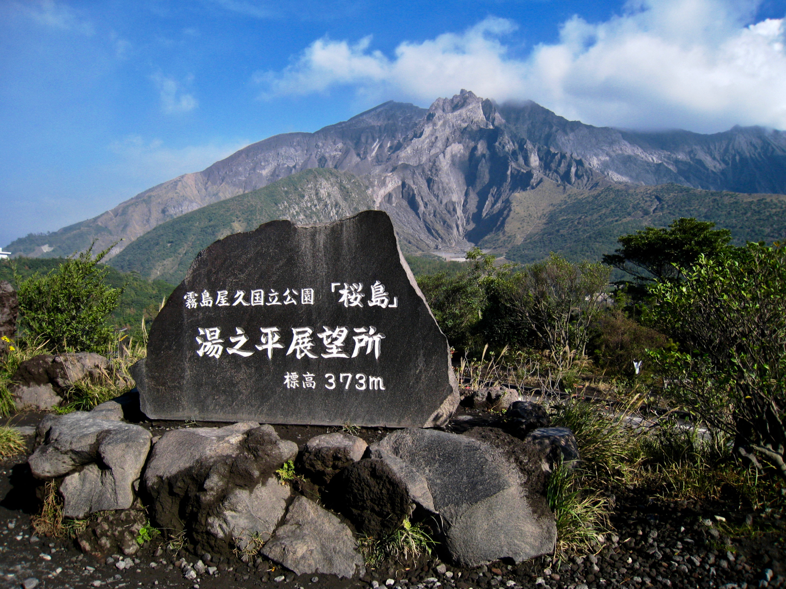
A road of about 50 km encircles the peninsula, which is actually the base of this massive 1100-meter-high volcano, the fourth largest in Japan. The bus tour will make a first stop at the 373-meter-high Yunohiro observation point. The highest and nearest point you are allowed to approach the volcano.
Before leaving the observation-centre don’t forget to take a photo of the magnificent 3D model displayed. It allows to assess the sheer magnitude of the volcano.

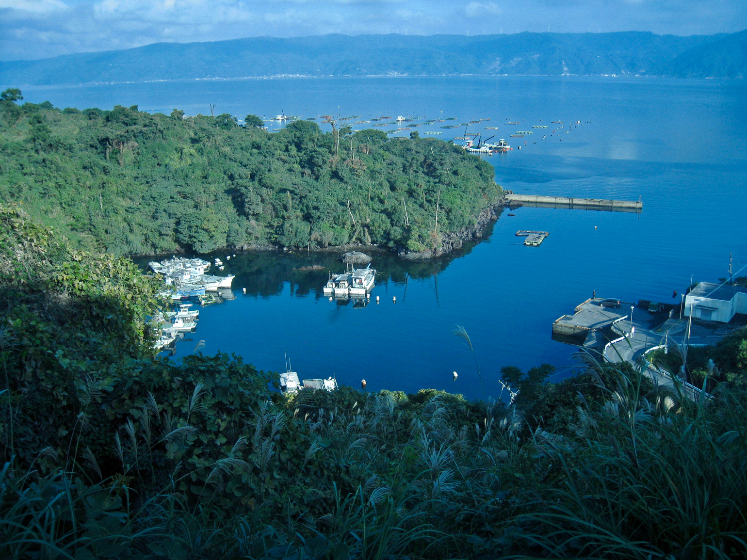
From the Yunohiro viewing point the bus descends to the coastline and takes you past small harbours and lovely bays to the Arimura observation point at the other side of the volcano.
The Arimura observation point gives a spectacular view onto Sakurajima’s Southern craters. Here you are standing on an elevation of 75 meter that is actually the lava field formed by 1914 eruption. The hot lava is visible on the photos from prof. Yamaguchi here above.

I took these photos on one of the days the volcano became more active during the day. In the late afternoon noticeably thick clouds of ash started gathering over the South and Showa crater. Back home I learned that this activity was the prelude to a rather severe eruption only a few days later.

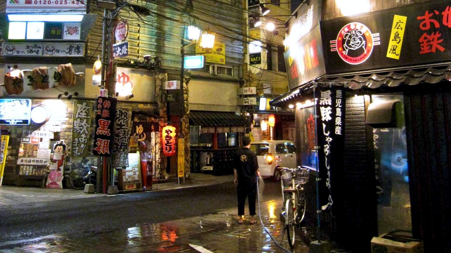
Especially at sunset the active volcano yields beautiful pictures and attracts many tourists admiring the power of nature. Yet periods of increased volcanic activity bring a lot of extra work for the local people having to clean the layer of volcanic dust from their bicycles, cars and the street.